Maps
Maps of the Topaz Mountain Lease Site. Scroll down for additional maps and images.
The Topaz Dome Quarry is located in the Northwest corner of our lease at 39.697275, -113.098586 (39° 41' 50.2" N 113° 5' 54.9" W). This is where we conduct all of the guided blast tours.
We highly recommend the smart phone app Waze and set the destination to "Topaz Dome Quarry" to navigate to the quarry. Once it has calculated your route, Waze will continue to provide guidance even after you lose cell service. You can also search for "Topaz Dome Quarry" in Google Maps.
Here is a Google Map showing the location of the quarry, the lease boundaries, and the route from the Topaz Road turnoff on Brush Hwy, and can be used to get detailed directions to the quarry. While passenger vehicles that are not low to the ground can negotiate the road most of the time, an SUV is highly recommended.
Areas outside of the lease boundary shown by the white box are open to the public for rockhounding and mineral collecting
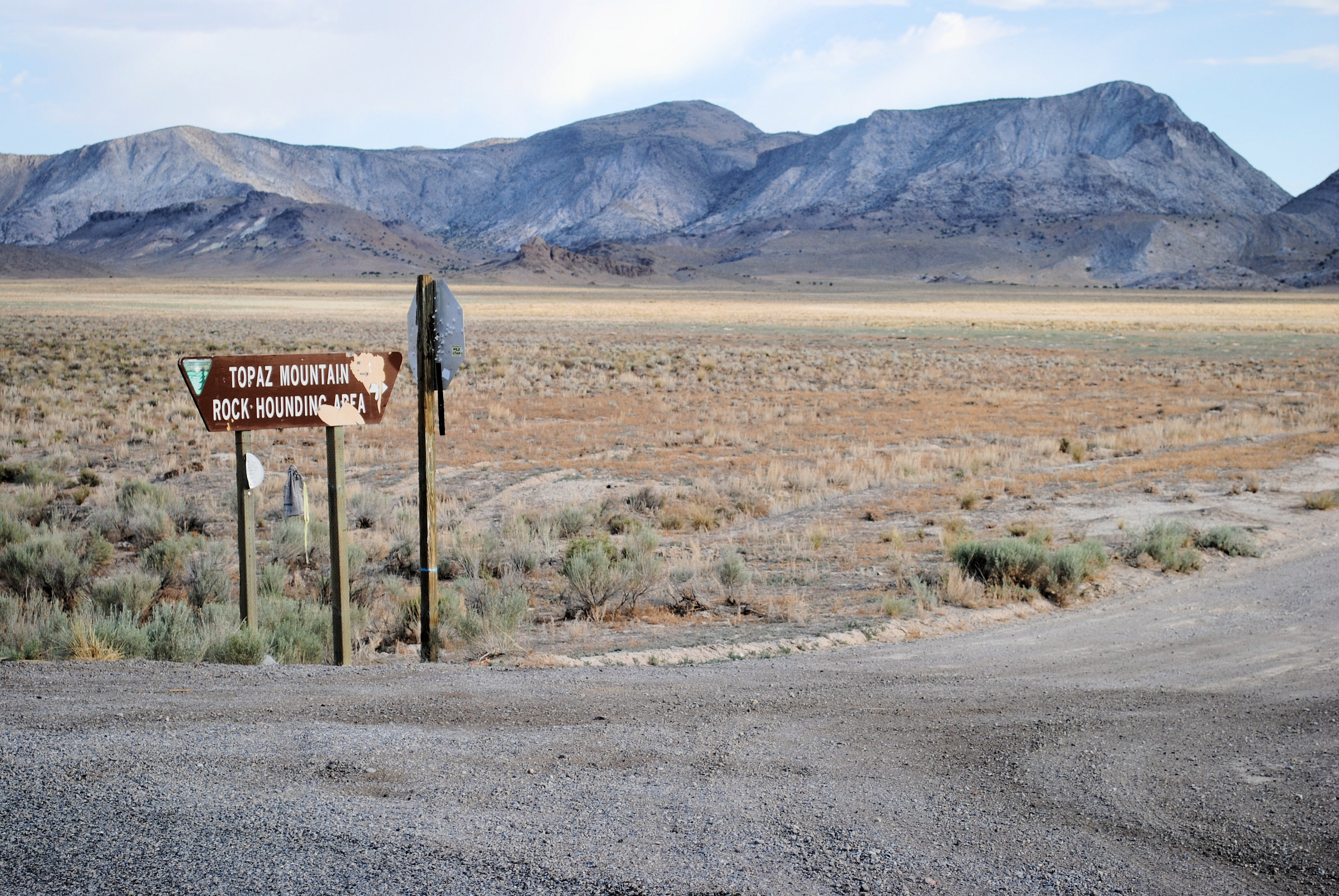
The photo below shows the sign posted at the turn off to Topaz Mountain. Topaz Mountain Rockhounding area is located in the large canyon area visible in the distance.
If you are traveling to our Topaz Dome Quarry from the U-Dig Fossils Quarry, Here is a Google Map showing some available routes. We highly recommend taking the longer route through Delta unless you are very familiar with the area and like unimproved desert mountain roads.